Second Fieldwork
February 2022
Main goals/point of discussion
01
Define the area of intervention
02
Choosing strategies and instruments
03
Ask for permissions
04
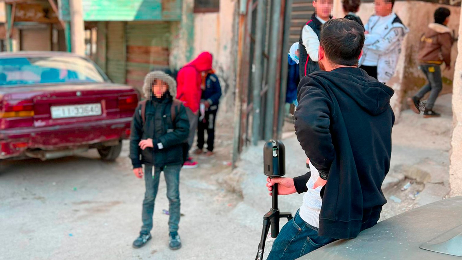
3D survey development
Participants
Dr. Rania Aburamadan
Applied Sciences Private University
Dr. Victoria Cotella
University of Naples Federico II
Eng. Qasem Al-Betar
SurveyTEQ
Eng. Amer Al-Mukahal
Al Baqa’a Local Office

Dr. Claudia Trillo
Bradford University
Dr. Athena Moustaka
University of Salford
Dr. Chiko Makore
University of Salford
Outputs
- As a result of the GPR data acquisition, the various GPS points indicating the position of the pipeline system were obtained.
- In addition, as a result of the TLS survey, point clouds corresponding to each station were obtained and finally elaborated to obtain the ultimate point cloud.
- Baqa’a office engineers will support Survey Teq in the data collection, thus familiarising and being trained on the use of digital scanning technologies
- Questionnaires were distributed to a sample of 100 residents to gather more comprehensive data on issues similar to those explored in greater detail during the interviews. This method allowed for a broader reach and a larger sample size, enabling a more extensive understanding of the residents’ perspectives and experiences.
- Through engaging with residents, it was possible to understand their needs and lay the foundation for effectively delivering the impact of the future App to them. This has helped improve the development of the App and ensure that it addresses their specific requirements.
Impacts
- Environment: CIM enables the collection of data on water use by Al Baqa’a residents across the camp through an open web-based data platform. This demonstrator allows for cross-analysis of interrelateddata from different sources.
- Society: CIM will ultimately produce an open access platform, allowing residents to interact with city planners and feedback on water usage and water related issues. This will allow creating a real and proper Al Baqa’a model, removing the stigma that still persists on living in this area. Moreover, the CIM platform will act as catalyst for social participation and therefore community resilience.
- Economy: By uplifting the socio-environmental context and helping to overcome the socio-economic stigma still existing on the Al Baqa’a, the CIM project will help economic activities and retail in particular to thrive.
Insights
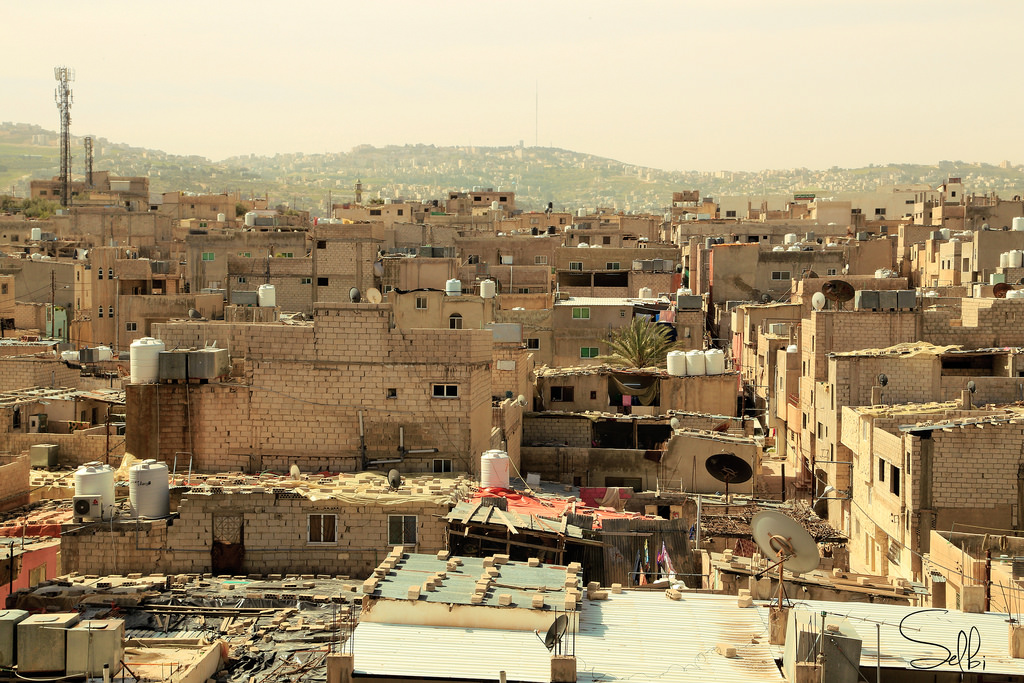
- Settlements similar to the Al Baqa’a have a high degree of complexity due to the extremely dense urban fabric. Using aerial scanning technologies may be not possible, unlike many other urban environments for which 3D models are available. This has an impact on the costs of surveying and has to be considered in planning and budgetingr
- Challenging urban settings add a layer of complexity in terms of safety and security of costly equipment. This has to be factored in whilst both scheduling fieldwork and arranging the team allocation on site.
- Surveying dense urban environment with TLS technologies has to be planned carefully, by taking in account peak hours of the main activities run in the area, this is particularly relevant in combination with point the previous point.
- Applying CIM to similarly complex context as Al Baqa’s is a very comprehensive example in terms of the interrelationship between agencies: governmental bodies, local NGOs, the Palestinian Refugee Office and the United Nations Relief and Works Agency (UNRWA).
Project founded by the Royal Academy of Engineering

2020-2023
